
The neighbourhood’s story
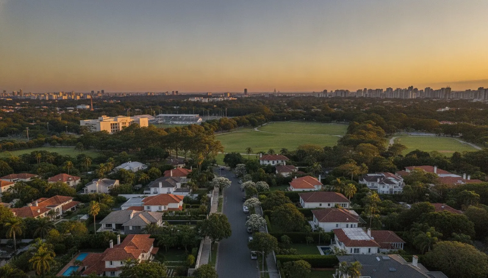
Jardim Morumbi is the residential subdivision that occupies the central slope of Morumbi, between Avenida Morumbi and Rua Senador Otávio Mangabeira. It was laid out with two-thousand-square-metre plots and, unlike almost everywhere else in the city, was never subdivided further: the municipal tax register still records plots of 2,000, 2,152 and 2,400 m² on the internal streets. The zoning is ZER-1 — exclusively low-density residential —, and it is this rule, more than any neighbourhood agreement, that preserves the landscape of house, wall and mature tree.
The Palácio dos Bandeirantes, seat of the São Paulo State government, sits within the neighbourhood, and the neighbourhood organises itself around it: wide streets, permanent policing nearby, almost no street-level commerce. It is a car-dependent address — there is no metro on the hill —, and the local market is dominated by houses, not flats.
Jardim Morumbi: a two-thousand-square-metre plot ten minutes from the Marginal. What the city stopped producing, and the law will not let anyone reproduce next door.
The surrounding area
- Institutions: the Palácio dos Bandeirantes, seat of the State government, within the neighbourhood itself.
- Schools: the international and traditional schools of Morumbi, within the same few-minute radius.
- Health: the Hospital Israelita Albert Einstein, minutes away by car.
- Dining and lifestyle: Shopping Cidade Jardim and the offerings of the Cidade Jardim axis.
- Parks: the green areas of Morumbi, including Parque Alfredo Volpi and Parque do Morumbi.
In the Fragata archive
There is 1 development from the portfolio in the neighbourhood (the backlinks panel lists it): Vilas do Palácio.
In the Fragata collection
One address in this neighbourhood is in the collection, with its full entry. Our curation keeps mapping the rest.